Tielongtan Gr
Type Locality and Naming
Karakorum. The Tielongtan Group was erected by Li Shuangxi et al. from the Regional Geological Survey Team under the Xinjiang Bureau of Geology in 1971. The section for the designation is in the Aksaiyi Lake southeast of the Tianshui military station along the Xinjiang-Xizang highway (provided by the Xinjiang Stratigraphic Timescale compilation group, 1981).
Lithology and Thickness
The Tielongtan Group is represented by gray white, gray, brown gray, purple red, break red and pink moderately thick-bedded-massive limestone and bioclastic limestone with sandstone, siltstone, clayey limestone and mudstone. The Tielongtan Gr is more than 1967 m thick. Comprises upward succession of Xiluokezong Fm (Xiloqzung Fm; limestone and marl) (269-970 m thick), Litian Fm (200-652 m thick; sandy limestone), and Dongluokezong Fm (Donglokzung Fm; of purplish-red to light-gray massive limestone, named after Dongluokezong Hill) (584-1719 m thick).
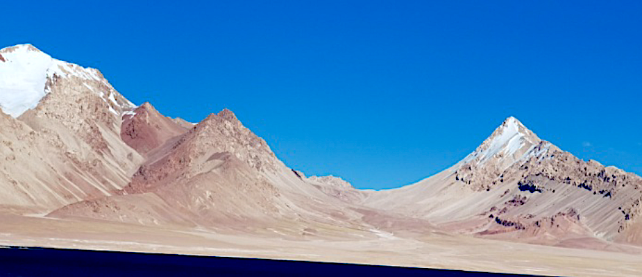
[Figure: Lower Tielongtan Group in Qianshuihu section along the Xinjiang-Xizang highway]
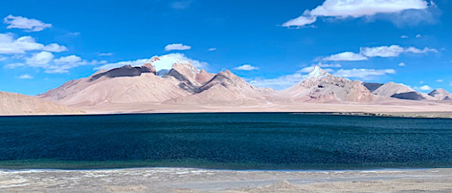
[Figure: Upper Tielongtan Group in Qianshuihu section along the Xinjiang-Xizang highway]
Relationships and Distribution
Lower contact
It base marked by purple red sandstone and conglomerate lies unconformably on the underlying Upper Carboniferous Qiatier Gr.
Upper contact
Its top is not observed
Regional extent
The present group occurs extensively in the Aksaiyi lake, Tielongtan and Luokzongshan of the Aksayqin lake, the Litian lake (Guozacuo), and the Yaxie lake (Bangdacuo). It is persistent in lithology and ranges from 1252 to 2000 m in thickness.
GeoJSON
Fossils
In the Aksaiyi lake, it bears bivalves (including rudists) Bournonia cf. fourtaui, Neithea (N.) sp., N. cf. guadricostata, Aritea guadrata, Chlamys (Pethopecten) sp., Cucullaea (Idonearea) sp., Radiolites sp., Pleurotomaria sp., etc.; and in the Aksayqin lake it bears ammonites Mortoniceras sp., Thomasites sp., Hemihoplites sp., Protobrissus canalicalatus, etc.
Age
Depositional setting
Additional Information

